The Commute
The Fastest Line Through a City Is Rarely the Calmest One
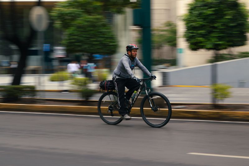
Route planning by bicycle is not the same problem as route planning by car. The shortest option often costs more in stress and stops than a longer alternative.
These are listed in the order worth acting on, which with cycle route planning is not the order they are usually presented in.
What matters most
- Main roads are direct because they carry the most motor traffic.
- Parallel residential streets often cost little extra distance.
- Junction count affects journey time more than distance does.
Why the obvious route is the busy one
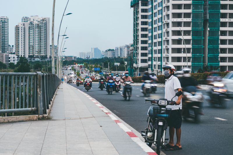
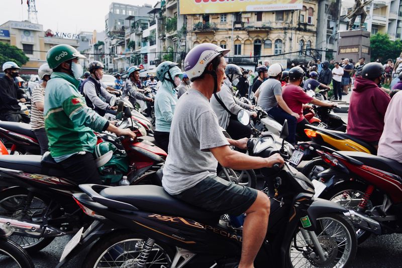
Arterial roads exist to move motor traffic efficiently between districts, which is exactly why navigation software suggests them. Those roads are direct, well surfaced and continuous, and they also carry the highest volumes and speeds of traffic. A cyclist on them experiences more overtakes per kilometre, more junctions with turning vehicles and more time spent in exhaust fumes.
The result is a route that is fast on paper and demanding to ride, which is why many riders quietly stop using it. It is worth separating the question of which route is shortest from which route you will still be riding in six months.
The parallel street effect
Most cities have residential streets running roughly parallel to their main roads, one or two blocks away. Those streets carry local traffic only, have lower speeds, and often connect through in ways drivers cannot use. The distance penalty is usually small, and the reduction in stress is disproportionate to the extra metres.
Where they do not connect through, a short section of pushing or a link path frequently bridges the gap. Finding these routes takes an afternoon of exploration and pays back every working day afterwards.
Time is spent stopped, not slow
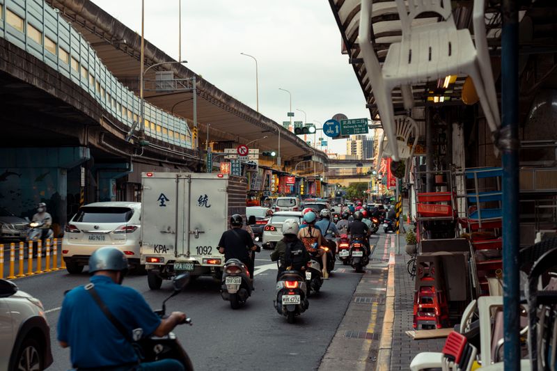
Average speed on a city commute is dominated by how often you stop rather than how fast you ride between stops. A route with fewer signalised junctions can be quicker than a shorter one with many, even at a lower cruising speed.
By the second week of riding, traffic signals are also timed for motor traffic progression, so a cyclist rarely catches a green wave on a main road. Counting the stops on two candidate routes is a better comparison than measuring their lengths. This is why riders often find a longer route arrives at the same time while feeling considerably easier.
Hills, wind and the direction of travel
A route that climbs on the way out and descends on the way back is easier to sustain than one that does the reverse. Prevailing wind direction has the same asymmetry, and in exposed cities it can matter more than gradient. Some riders use different routes in each direction for exactly this reason, taking a sheltered line into the wind.
Avoiding a single steep climb by riding around it is often worth several hundred extra metres on a hot day in work clothes. Elevation profiles in mapping tools make this easy to check before you commit to a route.
What mapping tools get wrong
Cycling directions in general navigation apps often route along painted lanes on busy roads because the data says a lane exists. They rarely know about surface quality, lane width, how a junction actually feels, or where a path is blocked by bollards.
Community-maintained cycling maps tend to be better, since the data comes from people who have ridden the routes. The most reliable source remains other riders in your city, particularly for the awkward links between good sections. Treat any suggested route as a hypothesis to test at a quiet time rather than a plan to follow in rush hour.
Road law for cycles and e-scooters is local, and enforcement is more local still.
Testing a route before you rely on it
Ride a new route at a weekend first, when traffic is light and you can stop and look at junctions properly. Note the points where you feel uncomfortable, because those are the sections that will decide whether you keep using it. Check it after dark too, since lighting, visibility and the character of a street change completely at night.
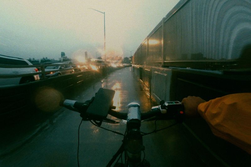
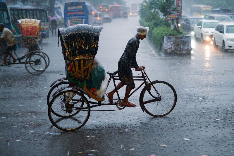
Have a wet-weather variant, because some routes involve paths that flood or surfaces that become slippery. Keeping two or three known routes gives you options when roadworks, events or a headwind make one of them unattractive.
Everything above, in order of what to do first
- Why the obvious route is the busy one. Arterial roads exist to move motor traffic efficiently between districts, which is exactly why navigation software suggests them.
- The parallel street effect. Most cities have residential streets running roughly parallel to their main roads, one or two blocks away.
- Time is spent stopped, not slow. Average speed on a city commute is dominated by how often you stop rather than how fast you ride between stops.
- Hills, wind and the direction of travel. A route that climbs on the way out and descends on the way back is easier to sustain than one that does the reverse.
- What mapping tools get wrong. Cycling directions in general navigation apps often route along painted lanes on busy roads because the data says a lane exists.
- Testing a route before you rely on it. Ride a new route at a weekend first, when traffic is light and you can stop and look at junctions properly.
The takeaway
Count the junctions, not the kilometres, and pick the route you will still enjoy in February.
Fix the small rattle. Every large repair began as one.
Questions readers ask
Should I trust cycling directions in mapping apps?
As a starting point only. They generally do not know about surface quality, junction design or how a lane feels in traffic, so test a suggested route at a quiet time first.
Is a longer quieter route worth the extra time?
Often it costs less time than expected, because stops matter more than distance. It also tends to be the route people keep riding, which matters more than a few minutes.
Also by Sarita Fernandes
- Hub Motors and Mid-Drives Do Genuinely Different JobsScooters & E-Mobility
- Regenerative Braking Gives Back Less Than People ExpectScooters & E-Mobility
- Nominal Watts, Peak Watts and What the Controller DecidesScooters & E-Mobility
- Rain, Puddles and Where Water Gets Into an Electric BikeScooters & E-Mobility