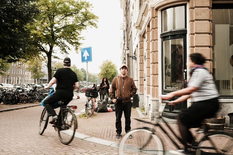
Riding the City
What Makes a City Rideable Has Little to Do With Weather
The cities with the highest cycling rates are not the warmest or the flattest. What they share is a set of design decisions that reduce the risk and effort of an ordinary trip.
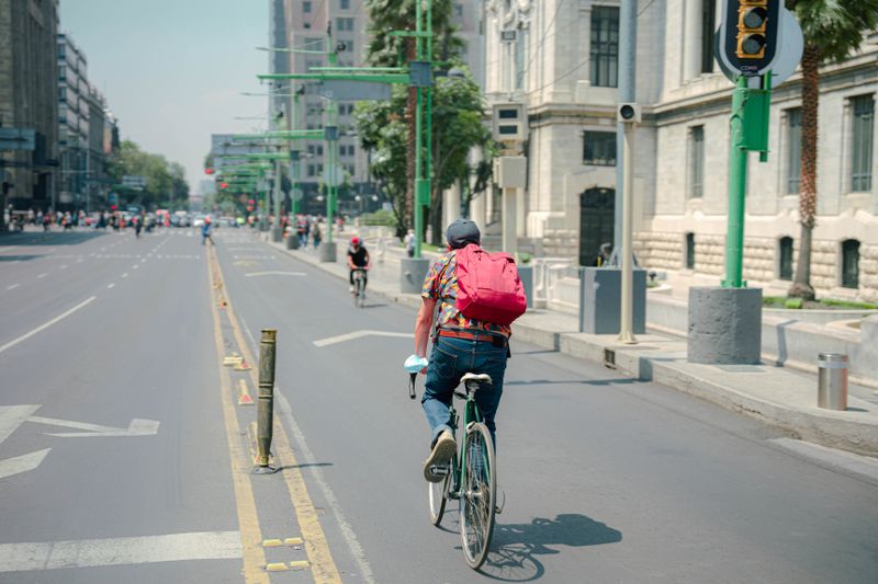
Everything below about urban cycling conditions comes from what actually happens rather than from what is supposed to.
What holds up in practice
- Cold, wet cities routinely have higher cycling rates than mild ones.
- Network continuity matters more than the quality of individual lanes.
- Traffic speed and volume shape who is willing to ride.
The weather excuse does not survive comparison
Several of the cities with the highest everyday cycling rates have long, dark, wet and freezing winters. Meanwhile cities with mild climates and gentle terrain often record very low cycling shares for ordinary journeys. If weather were decisive, that pattern would be reversed, and it consistently is not.
What weather does affect is day-to-day variation, since numbers drop on the wettest days everywhere and recover afterwards. Weather changes how many people ride on a given Tuesday; design changes how many people own a bike they use for transport.
Traffic speed does most of the work
The severity of a collision rises steeply with impact speed, and so does the difficulty a driver has in reacting at all. Cities that have reduced motor traffic speeds on residential and shopping streets change the risk profile of every trip made on them.
By the second week of riding, lower speeds also reduce the perceived threat, which matters because willingness to ride is governed by perception rather than statistics. Speed reduction achieved by street design lasts, while speed reduction achieved by signs alone tends to decay. This is why narrowing, planting, raised tables and modal filters appear in almost every serious cycling city.
Networks, not routes
A protected lane along one arterial road is useful to the people whose journey happens to lie along it, and to nobody else. Journeys are made between arbitrary origins and destinations, so a network only becomes useful when the gaps between good sections close.
The weakest link governs, because a route that is comfortable for four kilometres and terrifying for two hundred metres is a terrifying route. That is why continuity and junction treatment matter more than the width or surface of the best sections. Cities that built networks rather than showpieces are the ones where cycling rates rose across all ages rather than among young men only.
Somewhere to leave the bike
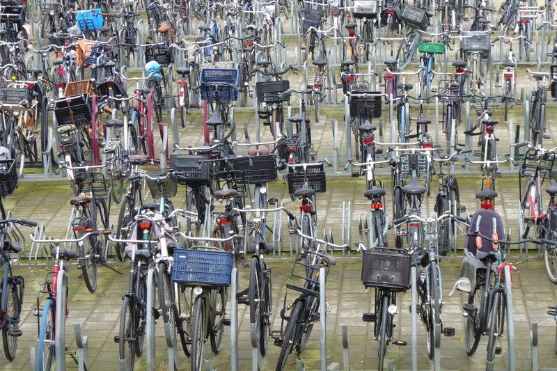
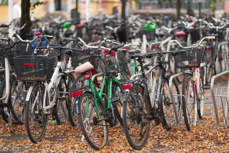
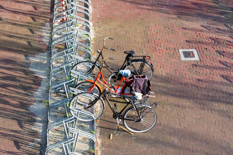
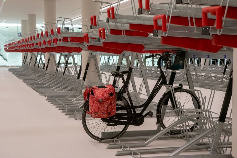
A trip by bike is only as convenient as its end, and secure parking is the part most consistently underprovided. Theft is a major deterrent, and people who have had a bike stolen are measurably less likely to replace it and continue.
Residential storage matters as much as destination parking, since a bike that must be carried up stairs gets used less. Cities with high cycling rates typically have substantial parking at stations, workplaces, schools and housing.
This is unglamorous infrastructure and it removes a barrier that no amount of lane paint addresses.
Who the design is for
Surveys across several countries repeatedly find a large group of people who would like to cycle but consider current conditions too dangerous. Designing for confident riders in fast traffic serves the people already riding and does very little to grow the number.
Designing for a competent twelve-year-old or an unhurried older rider serves everyone, including confident riders. The composition of riders is therefore a good diagnostic, since a cycling population skewed heavily by age and gender usually indicates conditions that filter people out. Where infrastructure is genuinely comfortable, the mix of people riding broadens quickly.
Range and charging figures are quoted under conditions nobody commutes in.
Trip distance and the shape of the city
Cycling competes best over distances of a few kilometres, which is a large share of urban trips in most compact cities. Cities that have spread outwards with separated land uses generate longer trips that are harder to make by bike. Electric assistance has extended the workable range considerably, which is why hilly and sprawling cities have seen faster growth recently.
With a loaded rack, mixing homes, shops and workplaces shortens trips, and shorter trips make cycling viable without any new lane being built. Land use policy is therefore cycling policy, even though it is rarely described that way.
The takeaway
Rideable cities are built, not blessed with good weather.
The bike you ride daily beats the better bike you keep indoors.
Questions readers ask
Do cycling rates just reflect flat terrain?
Not reliably. Several hilly cities have substantial cycling shares, and electric assistance has weakened the terrain argument considerably. Traffic conditions and network continuity are stronger predictors.
What single change helps most?
There is no single one, but reducing motor traffic speed and volume on residential streets tends to deliver the widest benefit because it improves every trip rather than one corridor.