The Commute
The Forecast Details That Actually Change a Ride
Temperature is the number everyone reads and the one that matters least. Wind direction, rain timing and dew point decide what the ride is like.
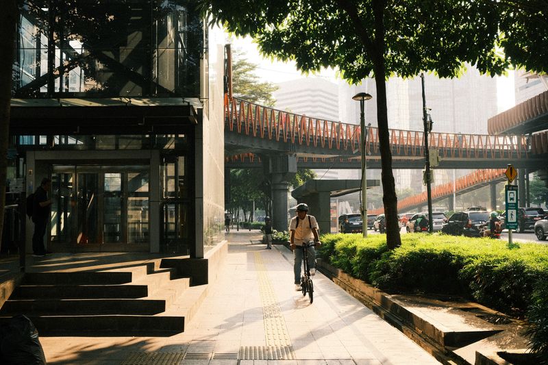
There is a short answer about weather forecasts for riding and a useful one, and they are not the same. What follows is the useful one.
The short version
- Wind direction relative to your route matters more than its speed.
- Rain probability and rain intensity are different numbers.
- Near-freezing temperatures with damp air are the riskiest surface conditions.
Temperature is the least useful number
Air temperature tells you very little about how a ride will feel, because a moving rider generates heat and loses it to airflow continuously. The same reading feels completely different in still sunshine and in a strong headwind with damp air.
What you actually want to know is whether you will be gaining or losing heat once you are up to speed and settled. Riders learn their own thresholds for adding layers, and those thresholds sit at different temperatures for different people and routes. Writing down what you wore and how it felt for a fortnight builds a personal scale that beats any general guidance.
Wind is the number to read first
Wind speed matters, but wind direction relative to your specific route matters considerably more. A strong tailwind out and the same wind against you coming home turns one ride into two very different experiences. Forecasts give the direction the wind is coming from, which is the opposite of the direction it will push you.
The bit that actually matters: sheltered urban routes reduce wind substantially, so a windy forecast is an argument for the back streets rather than the exposed road along the river. Gusts matter separately from average speed, because a sudden sideways push near traffic is a control problem rather than an effort one.
Rain probability and rain intensity
A probability figure tells you how likely rain is somewhere in the area during the period, not how heavy it will be. Light rain over a twenty minute commute is a minor inconvenience, and the same probability of heavy rain is a completely different decision. Hourly forecasts and rainfall radar answer the more useful question, which is whether it will rain during the window you are riding.
Come the wet months, radar loops are particularly good at showing whether a band of rain is arriving or clearing, which a percentage cannot. Roads are most slippery in the first minutes of rain after a dry spell, when accumulated oil and dust lift off the surface.
Dew point, damp and the cold that gets in
Dew point describes how much water the air is carrying, and it explains why some cold days feel far worse than others. Damp cold penetrates clothing more effectively than dry cold, because water conducts heat away much faster than air does.
With a loaded rack, it also determines whether your sweat will evaporate, which is why a mild humid day can leave you wetter than a rain shower. High dew point with warm air is the combination that makes summer riding uncomfortable regardless of how slowly you go.
Low dew point with cold air is the crisp, still, pleasant winter day that persuades people to keep riding through January.
The near-freezing window
The riskiest surface conditions occur when air temperature sits close to freezing and there is moisture on the road. Ground temperature lags air temperature, so a road can remain frozen well after the air has climbed above zero. Bridges, underpasses and shaded corners freeze first and thaw last, because they lose heat from more than one side.
With a loaded rack, black ice is not visible, forms in patches and gives no warning, which makes it the hazard riders most consistently underestimate. On those days, riding upright with light hands, avoiding braking or steering in the same moment, and simply riding slower are the whole strategy.
Range and charging figures are quoted under conditions nobody commutes in.
Turning a forecast into a decision
The useful output of reading a forecast is a choice about route, clothing, departure time and whether to ride at all. Checking the evening before matters more than checking in the morning, because that is when the bag gets packed. A forecast of rain clearing at four is an argument for staying half an hour later rather than for taking the bus.
Forecast accuracy falls away quickly beyond a couple of days, so a week-ahead outlook is a hint rather than a plan. The riders who keep going through winter are usually the ones who read the forecast and adjusted, not the ones who ignored it.
The takeaway
Read the wind direction and the hourly rain, and you will make better decisions than anyone reading the daily high.
Most of riding well is being boring and predictable to everyone else on the road.
Questions readers ask
What wind speed is too strong to ride in?
There is no universal figure, because it depends on gusts, direction, your route and how exposed it is. Sustained crosswinds near heavy traffic are the situation most experienced riders treat as a reason to take a different route.
How do I know if there will be ice?
Air near freezing plus moisture on the road is the warning combination, and ground temperature lags air temperature so mornings after a cold night are the risk. Bridges and shaded sections freeze first and are worth treating with caution.